This morning’s prognosis from the Marine Weather Center in Split talks about Jugo winds from 20 – 25 knots. South-east, 6 Beaufort, that starts to look like something… We quickly finish our shopping, so that we can stay out of the harbours for a couple of days. Around 09:30 CET we leave the marina, and 15 minutes later we are outside the protected Rogoznica bay. Here we find out that the wind is 15 knots already. The prognosis may be a bit wrong, because Jugo usually builds up during the day.
Our course is 280, and less than 2 hours later we are south of Žirje island. There is some serious swell, and we enjoy the view of some wave-tops at eye level next to the boat. With some of the crew this brings along some seasickness. Fortunately it helps to look at the horizon – your organ of balance likes to have a fixed reference point.
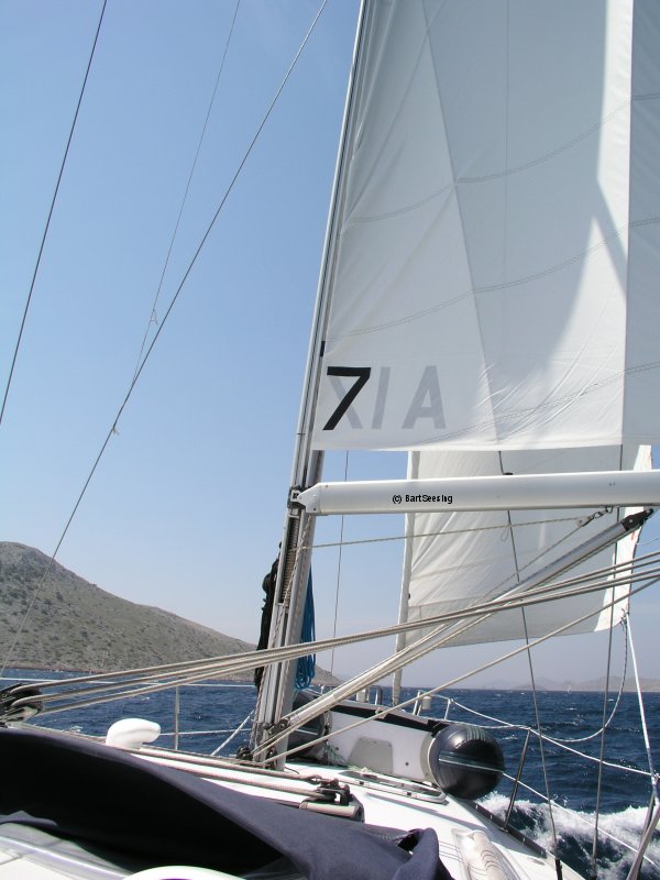
Around noon the wind has grown to 20 knots. Given the large genua this means that the bow keeps on pulling towards lee. We put a reef in the genua, and a bit later in the mainsail as well, and this helps. The wind keeps building up until it reaches 30 knots. 7 Beaufort, a bit more than predicted.
Around 14:00 CET we race into the Kornatski Kanal. The boat is surfing on those long slow waves from the south-east, with the usual white crests and all. The Kornatski Kanal is the long strait on the south-western side of Kornat, between the island itself and the long string of small islands on its seaside.. Those small island offer some protection against wind and waves, and the swell is considerably easier here. But the circumstances remain tough, with an average speed of 8 knots and a top speed of 9.2 knots (surfing on a big wave).
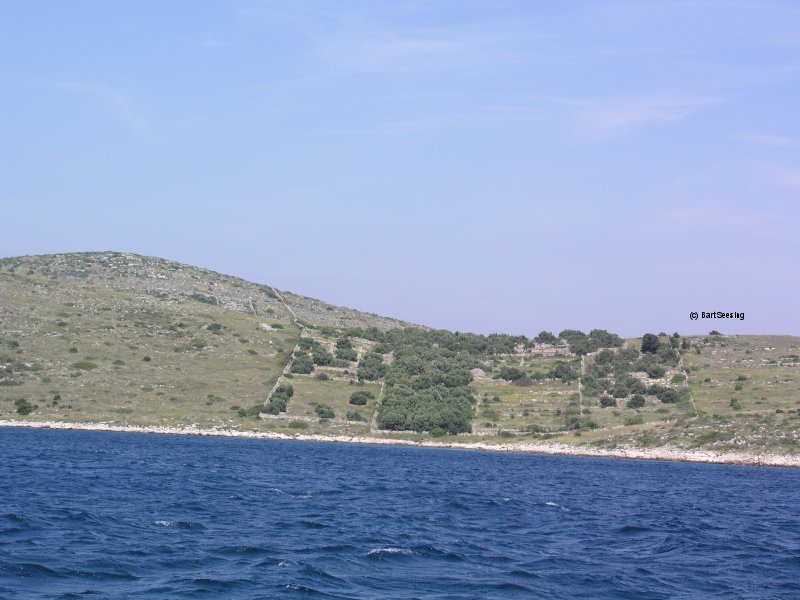
Our first attempt at finding an anchoring place is Lavsa. But it is completely full with yachts that fled there earlier that day when things got a bit rough. Marina Piškera on Piškera island is not a nice place in south-easterly winds, so we stay away from that one. Late that afternoon we anchor in Levrnaka, a well-protected bay. At first we anchor at the western side of the bay, but since we are not sure of the exact position of the shipwreck in this bay (the pilot guides and maps do not agree on it either) we move to the eastern side of the bay. Life is good there. Our log tells me that we covered 43 nautical miles today.